
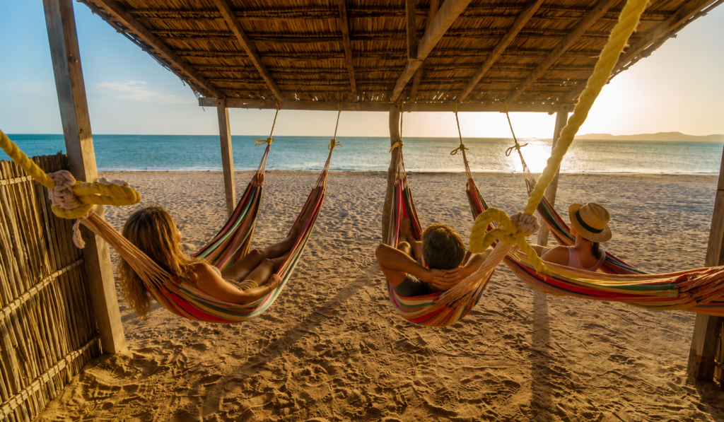
La Guajira, Colombia: Cabo de la Vela, Punta Gallinas, the Wayuu and the Three Days We Run, Honestly
The desert at the top of the map, by the census, the court and the parks authority: who the Wayuu are, why the car stops at Uribia, Cabo de la Vela, Punta Gallinas, the salt flats, the flamingo sanctuary and the Macuira, the weather by IDEAM, a night in a hammock, whether it is safe, and the rules of the land.
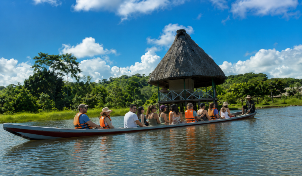
The Colombian Amazon from Leticia: What It Is, the Two Seasons of the River, the Vaccine, the Tax and the Four Days We Run
Leticia and the river by the authorities that run them: the yellow fever certificate and the airport tax, the high-water and low-water seasons by IDEAM’s numbers, Amacayacu and its fees, Puerto Nariño and the Tarapoto lakes, malaria and the rules of the communities, and our four-day program.
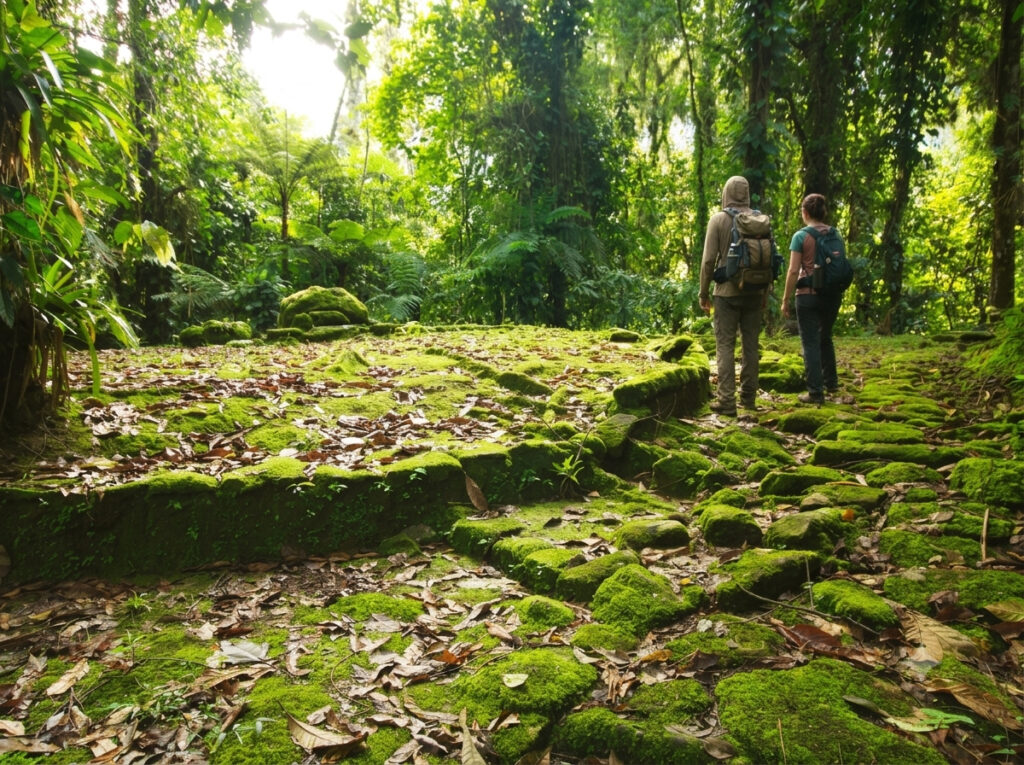
The Lost City Trek (Ciudad Perdida): The Four Days, the Cost, the October 2026 Closure and Who Should Go
Teyuna by the archaeologists who run it, the four days as they really go, how hard they are, what our trek costs and includes, the weather month by month from IDEAM’s stations on the mountain, the yellow fever rule, the four peoples’ rules, whether it is safe, and the October 1 to 31, 2026 closure.
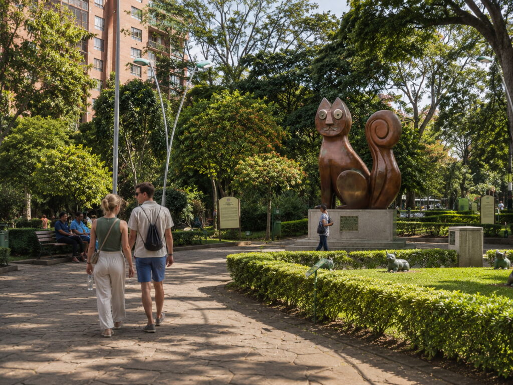
Is Cali, Colombia Safe? The Honest 2026 Answer, With the Numbers, the Earthquake and the Advisories
The honest answer on Cali’s safety in 2026, in two halves: the crime, with the police’s homicide and theft numbers and the comunas they belong to, and the earthquake, with what to ask a hotel and what to do if it shakes; plus the British and American advisories and what they mean for the whale and river days.
Cali, Colombia Weather: Month by Month, by IDEAM’s Numbers, and What It Means for Your Days
Cali’s weather from IDEAM’s own station in the city: 30 degrees every afternoon, 19 every night, two rainy seasons, twice the rain in the hills as at the airport, a very strong El Niño for late 2026, and what each month means for Cristo Rey, the river, the whales and the Feria.
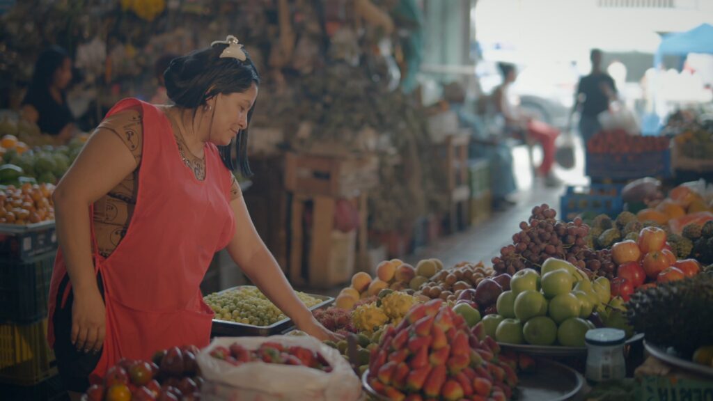
Things to Do in Cali, Colombia: 13 Places in the Order We Would Do Them, and What Is Open After the Earthquake
Thirteen things to do in Cali in the order we would do them, from people who live here: Cristo Rey with its new hours, San Antonio, the river and the cats, the Alameda market, salsa, the zoo, La Tertulia, Pance, the day trips, and the list of what is closed after the August 2026 earthquake.
Cali, Colombia: What the City Is, What to Do, Salsa, Safety, and What Is Open After the August 2026 Earthquake
The salsa capital a month after the August 10 earthquake: what the city is, what is open, Cristo Rey and the zoo, the salsotecas and Delirio, the day trips, the airport in Palmira, the weather, safety with the police’s figures, where to stay and a plan.
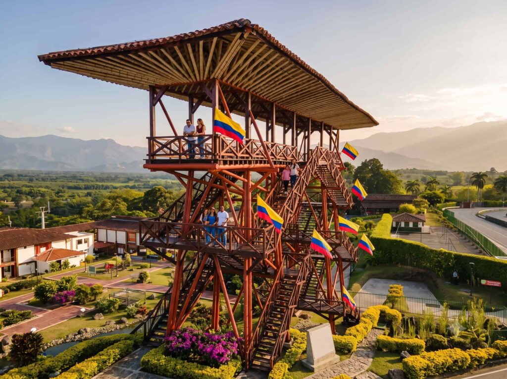
Armenia, Colombia: What the City Is, What to Do, What Is Open After the Earthquake and How to Use It as Your Coffee-Region Base
The coffee-region capital most people only drive through: what it is, what is open after the August 10 earthquake, the free gold museum, Cocora and the theme parks, El Edén airport, the weather, safety with the police’s figures, where to stay and a plan.
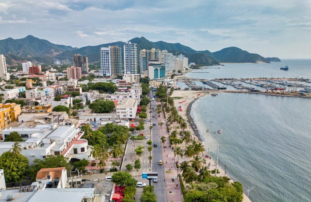
Santa Marta Airport (SMR) to the City, Rodadero and Tayrona: Every Way In, With 2026 Fares
Simón Bolívar airport, 16.5 km from the center: the airlines, the taxi desk and the district’s fixed fares, the apps, the bus on the highway, the transfer with a host waiting inside, and the drive to Tayrona, Minca and Palomino.
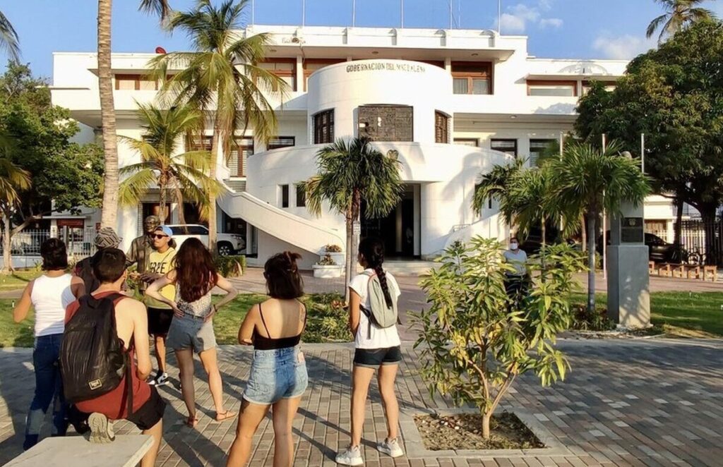
Is Santa Marta Safe in 2026? The Numbers, the Sea, the Sierra and the Habits That Work
The police figures for 2025 and 2026, what actually happens to visitors, the sea and its rules, Taganga, Tayrona, the Sierra behind the city, health, and the habits we use every day.
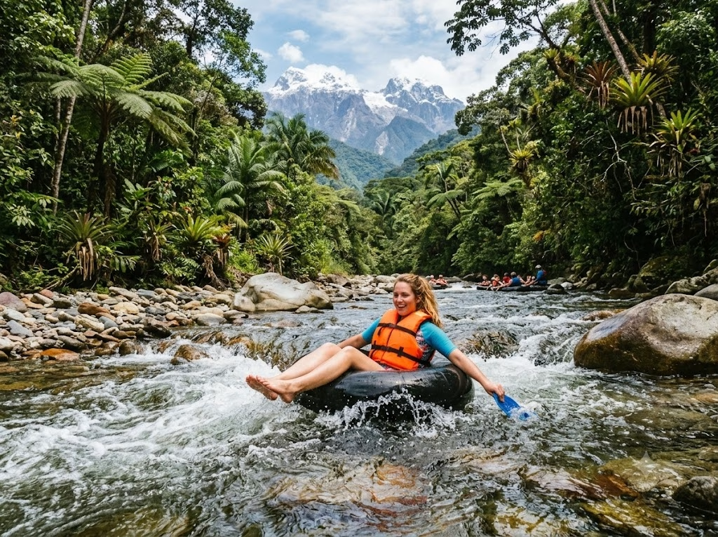
Palomino, Colombia: The Beach Where the Sierra Meets the Sea, the River and How to Get There
The beach village at the end of the Tayrona road: the sea and what it does, the river and the tubing, the Kogui valley, the Mendihuaca bridge, when to go, where to stay and what it costs.
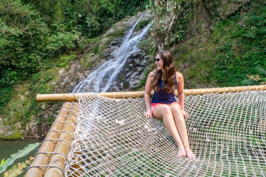
Minca, Colombia: The Cool Village Above Santa Marta, and How to Spend a Day or Two There
The village in the Sierra Nevada foothills above Santa Marta: the waterfalls, La Victoria coffee farm, the endemic birds, the road up, the park you cannot enter and a plan.